Hart-Montague Bicycle Trail
Rail-trail in Michigan · OpenStreetMap relation
Finding you…
Ahead to end–Behind to start–
Next trailhead–Speed–
Managed by DNR Parks And Recreation PRD.2

About this trail
Community
Where people who ride and look after this trail post: notices, conditions, work days.
Photos
-
 Montague, along the trail
Photo: Queensland State Archives · Public Domain Mark · Flickr -
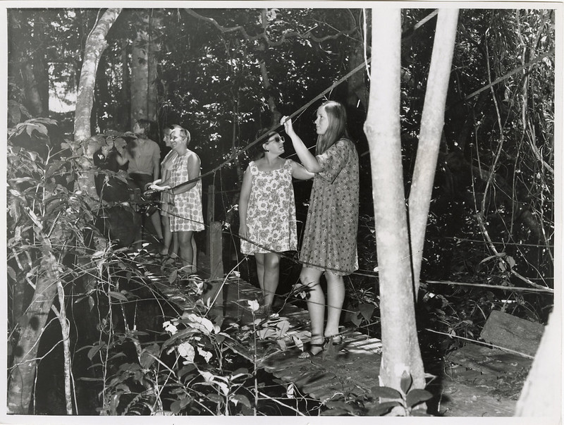 Montague, along the trail
Photo: Queensland State Archives · Public Domain Mark · Flickr -
 Montague, along the trail
Photo: Queensland State Archives · Public Domain Mark · Flickr
Photos and rider notes
Trailheads
- 1 Hart Montague Trailhead Parking restrooms directions
- 2 Hart Montague Trail Shelby Parking restrooms · water directions
- 3 Parking directions
- 4 Parking directions
- 5 Parking directions
- 6 Parking directions
- 7 Parking directions
- 8 Parking directions
- 9 Parking directions
- 10 Parking directions
- 11 Parking directions
- 12 Parking directions
- 13 Parking restrooms · water directions
- 14 Parking directions
- 15 Parking directions
- 16 Parking directions
- 17 Parking directions
- 18 Parking directions
- 19 Parking directions
- 20 Parking directions
- 21 Parking directions
- 22 Parking directions
- 23 Parking restrooms · water directions
- 24 Parking directions
- 25 Parking directions
- 26 Parking directions
- 27 Parking directions
- 28 Parking directions
- 29 Parking directions
Take it with you
Open data, ODbL. Attribute BikeTheRail and OpenStreetMap contributors.
Something wrong?
Closed section, wrong surface, missing piece? Tell us and a person will check it. Report a problem.
Sources
- OpenStreetMap relation 9767611, OpenStreetMap contributors · Map data · ODbL · checked Oct 12, 2026
- Michigan DNR Statewide Railtrails, Michigan · Government dataset · Michigan DNR open data (verify redistribution terms) · checked Oct 12, 2026 “managing_org from Michigan DNR Statewide Railtrails”
Every fact above cites a numbered source and the date it was last checked; the list is rebuilt nightly. Know a better source? Add a reference.